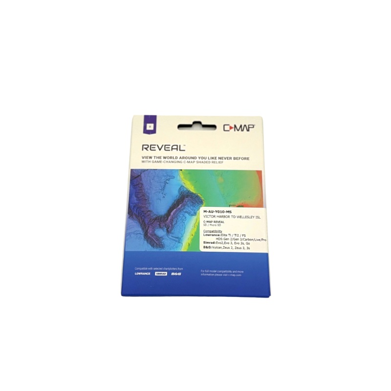
The C-MAP Reveal Charts Victor Harbor to Wellesley Islands edition delivers exceptional detail and accuracy for serious boaters and anglers navigating Australias diverse coastal waters. Covering the region from South Australia's Victor Harbor up to Queensl
Flash Sale Ongoing
The C-MAP Reveal Charts Victor Harbor to Wellesley Islands edition delivers exceptional detail and accuracy for serious boaters and anglers navigating Australias diverse coastal waters. Covering the region from South Australia’s Victor Harbor up to Queenslands Wellesley Islands, this premium chart offers high-resolution bathymetry, shaded relief, satellite imagery, and detailed contours to reveal underwater structure like never before. Perfect for planning fishing trips, diving spots, and safe navigation, Reveal Charts also include tidal data, marine services, and custom depth shading. Whether cruising or chasing gamefish, C-MAP Reveal ensures you’re armed with the most advanced marine mapping available for this vast and varied stretch of coastline.
Reviews
There are no reviews yet.