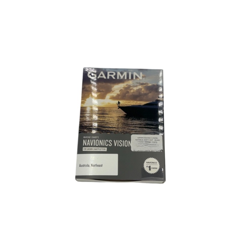
The Garmin Navionics Vision+ Australia, North East Inland & Coastal Marine Charts offer premium cartography for navigating both offshore and inland waters across Queenslands northeastern coastline. Covering popular fishing and boating areas from Cape York
Flash Sale Ongoing
The Garmin Navionics Vision+ Australia, North East Inland & Coastal Marine Charts offer premium cartography for navigating both offshore and inland waters across Queenslands northeastern coastline. Covering popular fishing and boating areas from Cape York to Brisbane, this advanced chart features high-resolution relief shading, dynamic depth shading, satellite imagery, 3D views, and Auto Guidance+ technology. Designed for use with compatible Garmin chartplotters, Vision+ delivers next-level clarity, detail, and situational awareness for anglers, cruisers, and marine explorers. Whether you’re navigating reefs, river systems, or coastal waters, this chart ensures accurate, reliable, and visually enhanced guidance every time youre on the water.
Reviews
There are no reviews yet.