Navionics+ Marine Mapping The Ultimate Mapping Solution for Your Chartplotter Upgrade your boating experience with Navionics+, the worlds No. 1 choice in marine mapping. Offering the most up-to-date, detail-rich cartography for coastal waters, lakes, river
Flash Sale Ongoing
Navionics+ Marine Mapping The Ultimate Mapping Solution for Your Chartplotter
Upgrade your boating experience with Navionics+, the worlds No. 1 choice in marine mapping. Offering the most up-to-date, detail-rich cartography for coastal waters, lakes, rivers, and more, Navionics+ is designed to help you navigate both offshore and inland waters with ease. Compatible with your chartplotter, this all-in-one solution includes premium features like SonarChart HD bathymetry, live mapping, dock-to-dock route guidance, and wireless plotter sync for continuous updates.
Key Features:
Integrated Content: Seamless integration of Garmin and Navionics content ensures exceptional detail, clarity, and coverage in a familiar format.
Daily Updates: Stay ahead with easy access to daily chart updates through the Navionics chart installer software or via wireless sync with the Navionics Boating app.
Dock-to-Dock Route Guidance: Navionics advanced route guidance technology offers a suggested path based on your boat settings, chart data, and frequently traveled routes, helping you navigate channels, inlets, and marinas with confidence.
Community Edits: Tap into valuable local knowledge with community edits, contributed by Navionics Boating app users, directly on your chartplotter.
SonarChart HD Bathymetry: With 1 contours, SonarChart provides a highly detailed depiction of bottom structure, enhancing your navigation and fishing experience.
Fishing Range: Easily highlight your desired target depth range for better fishing opportunities.
Shallow Water Shading: The advanced shading feature highlights shallow areas, improving navigation in challenging water conditions.
Real-Time Mapping: Create personalized HD bathymetry maps in real time with SonarChart Live, so you can see new data as you navigate.
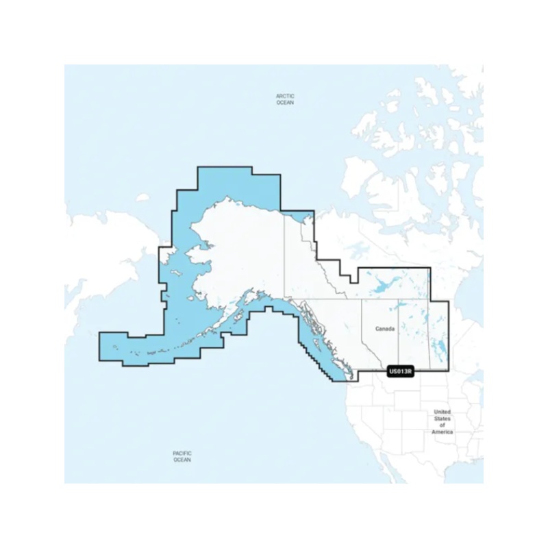
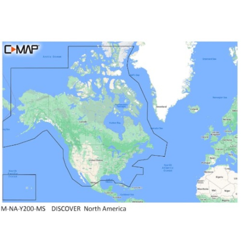
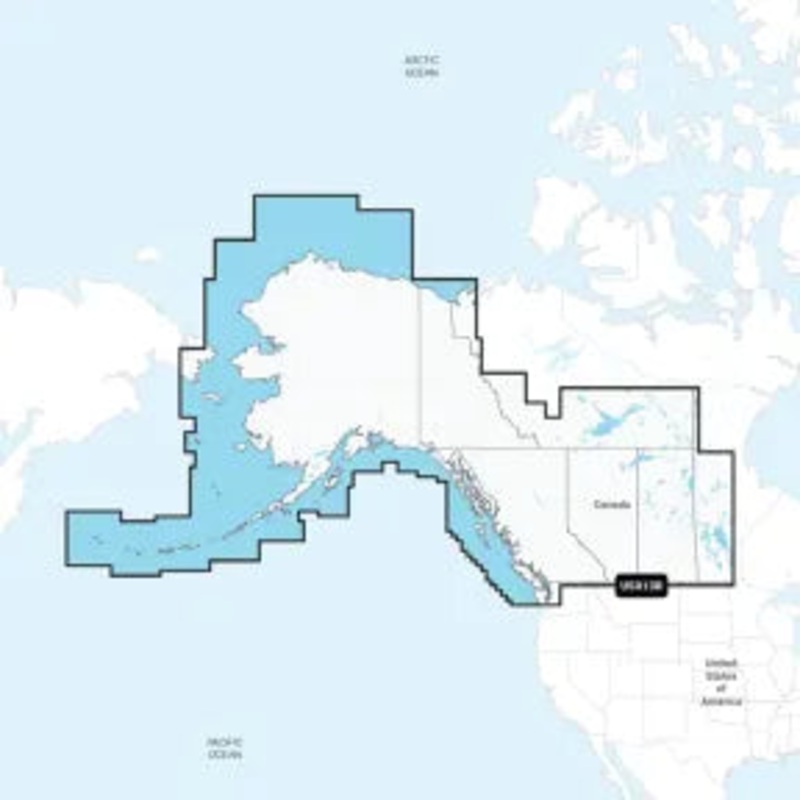
Worldwide Coverage: Access maps of waters across the globe, ensuring you’re always prepared no matter where your adventure takes you.
Annual Renewable Subscription: Enjoy up-to-date mapping with an annual subscription, and get the first year of updates included when you purchase. Updates are delivered via microSD card for easy installation.
Note: Electronic charts are non-returnable unless a manufacturing defect is found.
Take your boating to the next level with Navionics+ the most comprehensive and up-to-date marine charting solution available.
Reviews
There are no reviews yet.